Posts

Showing posts from June, 2015

Summit Piedras Blancas, Venezuela

Image
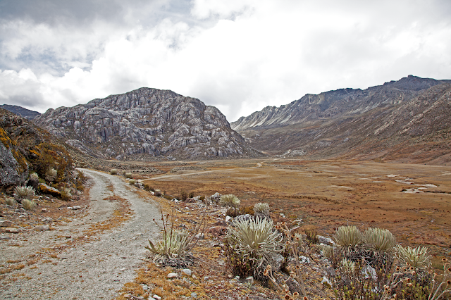
The Pico Piedras Blancas (also known as Misamán), at 4,748 metres, is the highest mountain of the Sierra de la Culata range in the Mérida State, and the fifth highest mountain in Venezuela. Its name, meaning "White Stones", is of doubted origin, since the massif is predominantly grey in color. Pico Piedras Blancas lacks glaciers, nevertheless, seasonal snowfalls may cover briefly its flanks. From its summit and under clear conditions, Lake Maracaibo is perfectly seen. One of the accesses to reach the base of the mountain, passes through the Mifafí Condor Reserve, which hosts some specimens of this andean bird.

Cerro Autana (Autana Mountain)

Image
Is a geological formation located at the western portion of the Guiana Shield in the Estado Amazonas, Venezuela near the Colombian border (approximate coordinates 04°51′33.61″N 67°27′05.51″W). It is characterized by a narrow base, a flat top and almost vertical walls. Its top is at approximately 1220 meters (4003 feet). It belongs to the formations known as tepuis which are characteristic flat-top mountains of the Guiana Shield. Cerro Autana (Wahari-Kuawai ) plays the role of the "tree of life" in the oral history and lore of the Piaroa Indians which inhabit the region.

Natural Monument Stone Turtle

Image
Is a protected natural area located in the municipality Atures, in Amazonas state, Venezuela. It is located approximately 15 km from Puerto Ayacucho, southward. Municipality Atures. Covering 1,950 hectares, in her are settled two indigenous communities Hiwi (Guahiba) and Piaroa.

Laguna de Canaima

Image
Located in the region known as the Gran Sabana, in the protected area called Canaima National Park, Bolivar State southeast of the South American country of Venezuela. Its waters come from up to seven waterfalls and a river, surrounded by views of various tepuis (as Kusari, Kuravaina and Kurun) as well as vegetation. Plus it highlights the different colors of its waters that vary according to the sector.

The Argentière Glacier

Image
The Argentière Glacier is a glacier in the French Alps that is above the village of Argentière. It lies perpendicular to the Chamonix valley and is in the Rhône-Alpes region. Crédit vidéo: redpointmovie / Yannick Boissenot

These are the world's most expensive countries to visit

Image
Travel is expensive. Between flights, hotels, meals, transportation, and the barrage of tourist traps, it is hard to keep to a strict budget when traveling in a different country.  However, it's even harder if you don't do your due diligence.  In the recently published 2015 Travel and Tourism Competitiveness report, the World Economic Forum ranks 141 countries based on how cheap/expensive it is to travel there. This takes into account things like average cost of a flights to and from, average cost of hotel accommodations, cost of living, fuel prices, and purchasing power parity (PPP)*. Knowing the costs of visiting an area can make all the difference between traveling sensibly and hitchhiking back to the airport. Note: Hotel and gas conversions are based on the US dollar and information from the World Bank and are subject to change. PPP is relative to the country's home currency. *An example of PPP: If the PPP in the United States is 1 and the PPP in Poland